Field Report 6: A side by side look at “Restoration” Projects
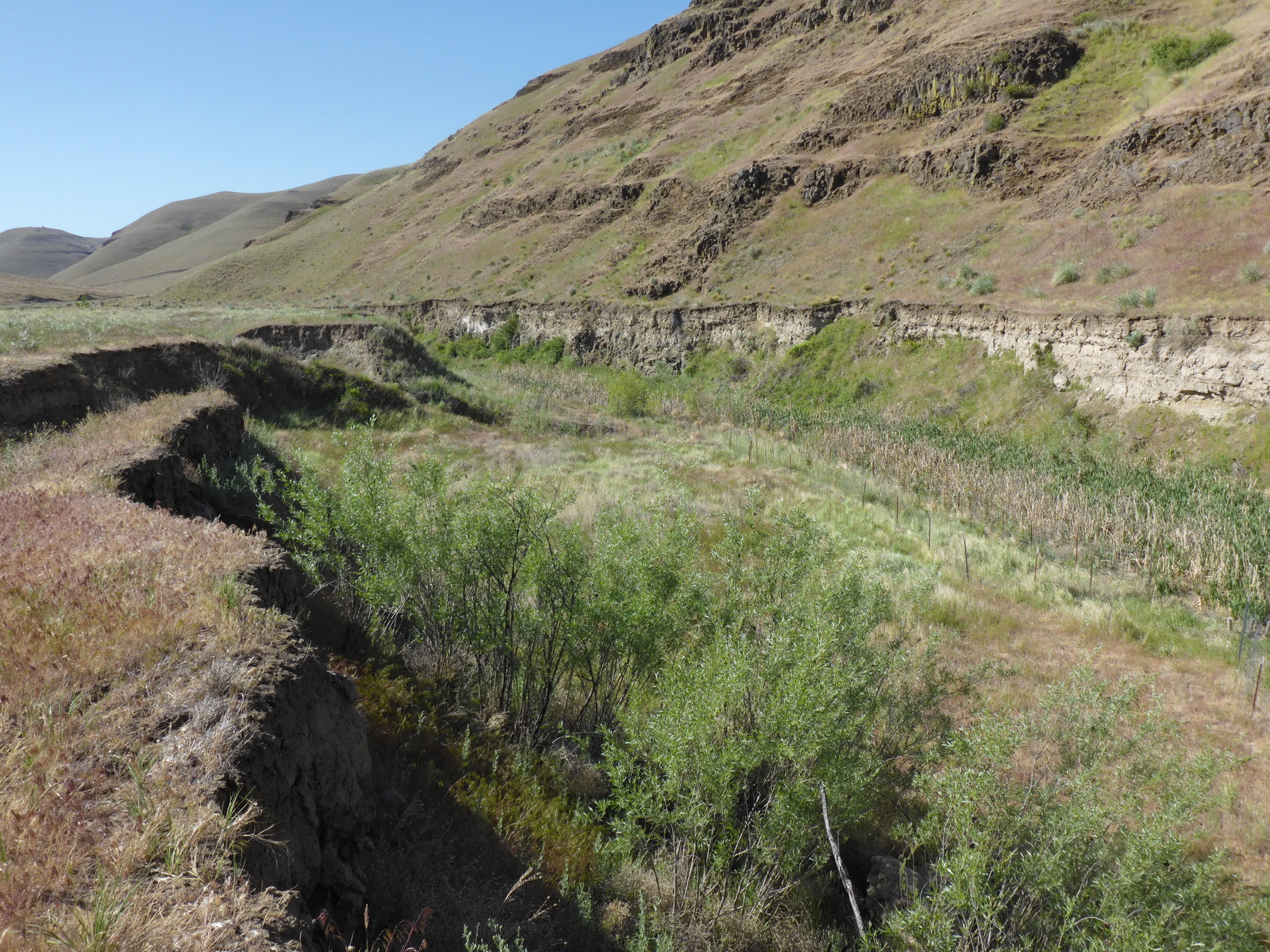
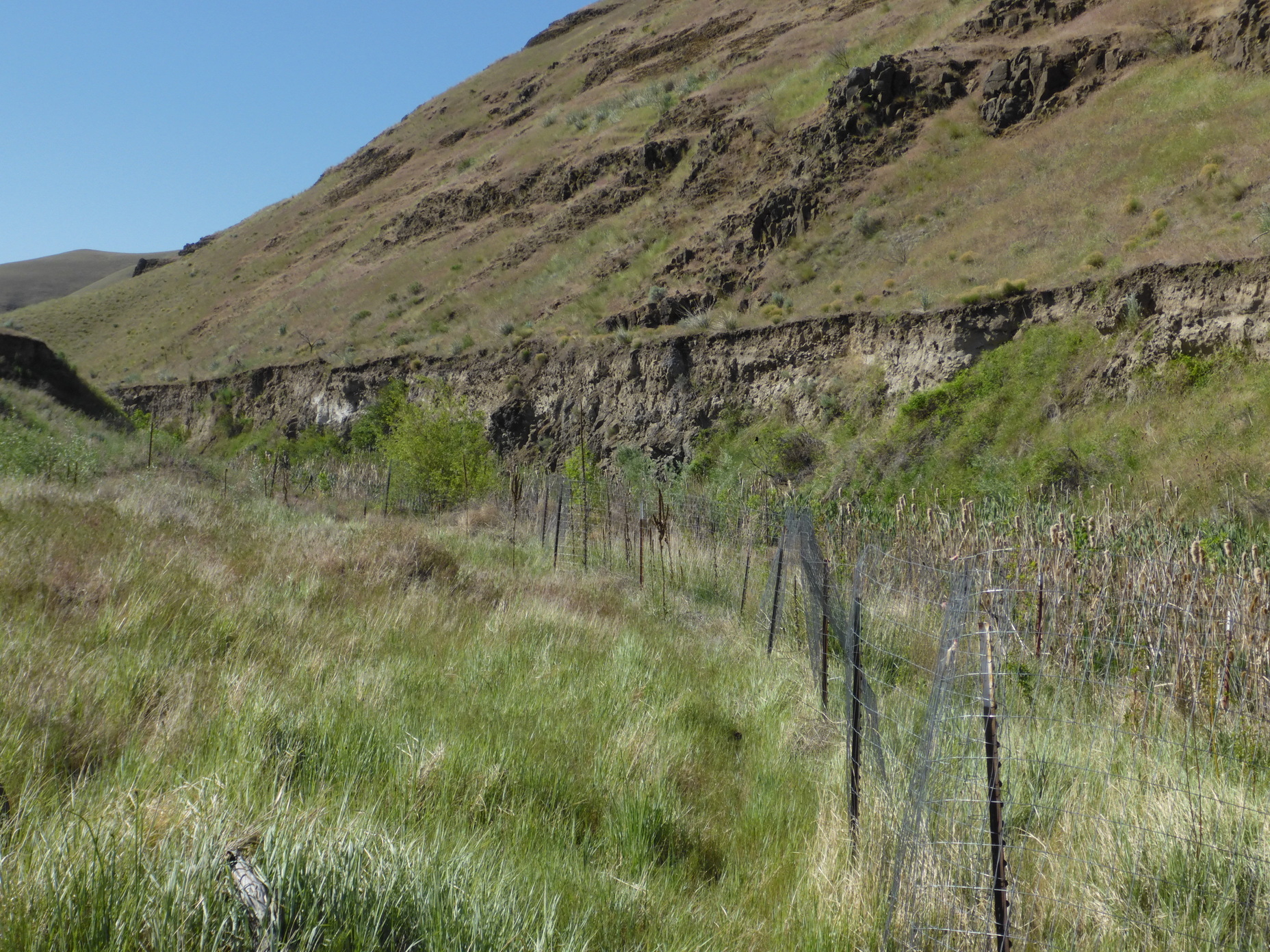
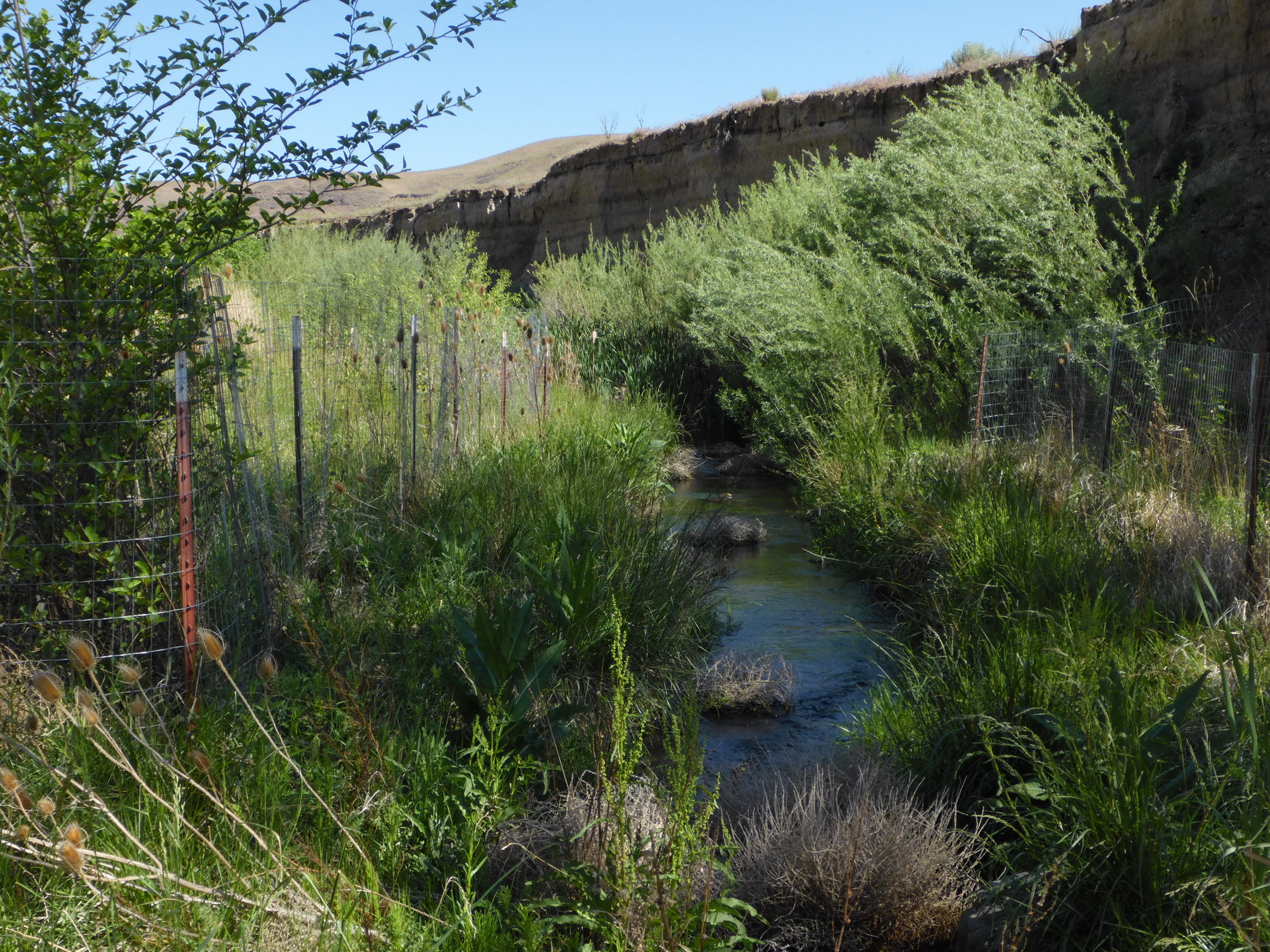
Earlier this year we traveled northeast Oregon to check on the progress of a 4 year long restoration project along a tributary of the John Day river.
The spring-fed creek had disconnected from the valley floor through decades of accumulated erosion, and now sat at the bottom of a dramatic 15 foot high, wide valley gully.
The challenge, to return the creek to a more natural condition, by re-wetting laterally, more of the riparian areas, in doing so improving ground saturation where newly planted vegetation could establish.
In our upstream visit… Volunteers had installed temporary dams (sometimes referred to as “Beaver Dam Analogues” [or BDAs]) and planted thousands of native trees and shrubs – the kind that could ultimately help to accumulate (and aggrade) sediment while also providing habitat for wildlife and food for beavers. By all accounts, the years of work appear to show early signs of success, and a jumpstart for natural processes to start taking place.
In our downstream visit… Within this same tributary, just 1 mile downstream of the most recent project work (above), we found a .25 mile section of stream not included in the 4 year restoration plan.
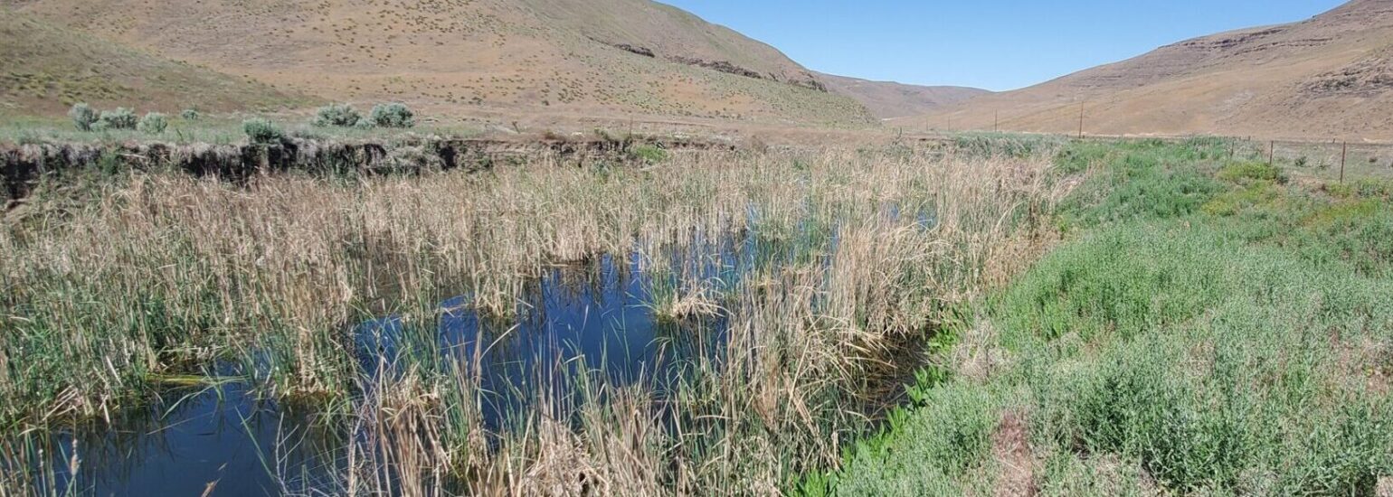
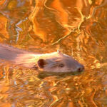
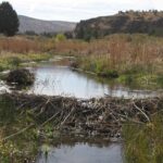
To our astonishment and delight… we discovered that a remarkable restoration project was already well underway — thanks to resident beavers. By all appearances, over a period of years these beavers had managed to establish an impressive series of tall and wide dams entirely with cattails. Captured water levels across the 60 foot dam width appeared to be 6-10 feet high and reaching up closer toward the original valley floor. We captured here in video, the sites and sounds of a wide variety of birds, frogs and other aquatic wildlife often absent from our high desert landscapes.
Our excitement at this remarkable “desert beaver” discovery cannot be overstated! We’ll be investigating again this Fall when temperatures have subsided to further document this exciting beaver engineering. #thankyoubeaver !
Tributary of John Day River – Upstream and Downstream
Aerial views over the years of downstream’s main beaver dam

